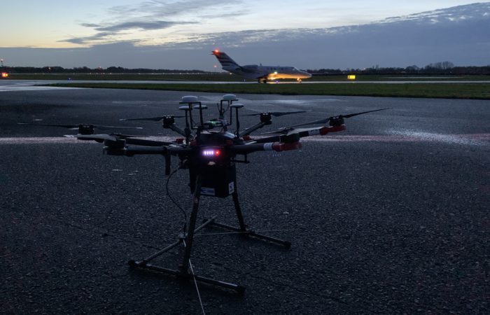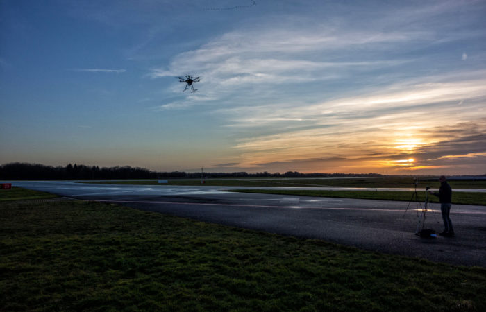
Thursday the 19th of December, on request of LVNL (air navigation services provider from Netherlands), CANARD performed a demo on Groningen Airport Eelde to demonstrate the use of our drone solution for ILS calibration measurements.
LVNL is leveraging this test to demonstrate that the use of a drone may supplement or, ultimately, replace the current ILS calibration method relying on ground measurements. It is foreseen that using a drone leads to shorter runway occupancy times for ILS calibration leading to more efficient runway use and less operational impact than alternative methods like the vehicle mounted masts.
Several measurements were performed with CANARD’s solution, including the following:
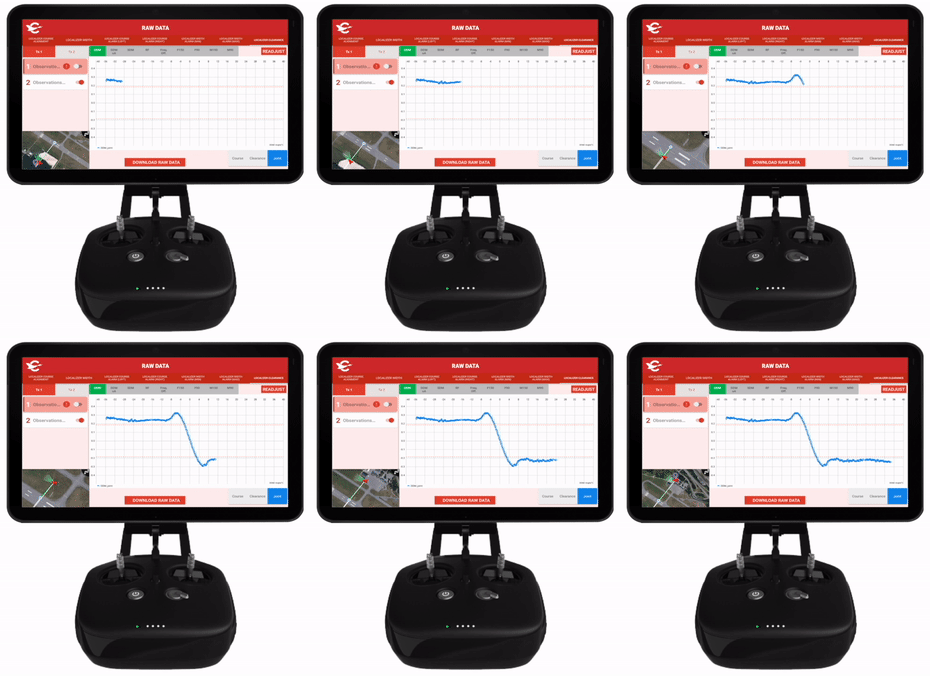
For this operation, CANARD showcased the Calibration Tool App, which provides real-time ILS data while the drone is flying the autonomous flights.

One of the most important aspects of the operation is that the flights were carried out during daylight and without disrupting normal airport operations. In fact, the crew was coordinated via VHF radio with ATC and all ILS measurements were done within 10-20 minute windows between commercial and general aviation flights and departures.
The demonstration extended into the night, showing that CANARD’s solution can be also operated during night. This is a huge improvement in flexibility, which could benefit ILS measurements in busy airports like Schiphol.

CANARD wants to thank LVNL, Groningen Airport Eelde and DroneHub GAE for their support during the operation.