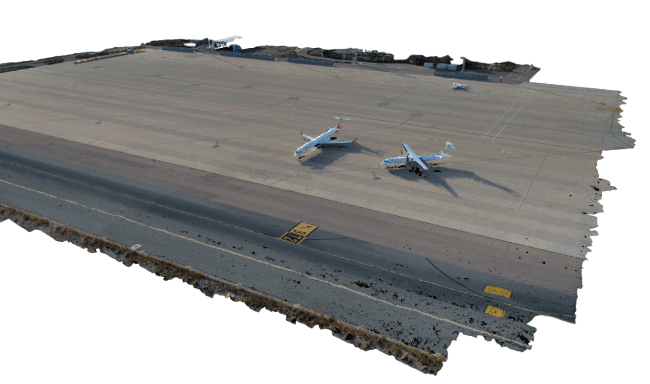
CANARD Solution can be used to carry out topographic surveys and generate 3D models from aerial photos that allow the identification and characterization of obstacles and keep the terrain databases (ETOD) updated.
The accuracy of the models complies with ICAO requirements, making it especially useful for surveying areas 3 and 4 of airports.
Checks that can be made:
• Point-cloud in .LAS/.LAZ or other formats.
• DSM and DTM
• Orthophotograph
• CSV/Excel with identified obstacles
• Contour lines